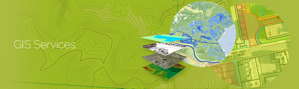
GeoPro provides numerous GIS services to its clients all over the world. The GIS services rendered by GeoPro allow for the visualization of geographic data, analysis of spatial relationships, and efficient data management. The GIS data conversions allow data from different sources to be merged in one common format, which allows for easy access, analysis and utilization.
GeoPro works on GIS data conversions and prepares electronic maps using Geographic Information Systems (GIS) technology by utilizing the paper or electronic data that has been either captured by the clients or collected otherwise.
The vast expertise and experience allows GeoPro to integrate GIS, CAD and Global Positioning Systems (GPS) services, by using high-end GIS Mapping and GIS data conversions software. These services assist the customers to produce contour maps, spatial maps, atlas maps, cadastral maps, thematic and zonal maps, landscape maps, and environmental maps for host industries such as mining and geology, utility, agriculture, petroleum pipelines, land information management, and other GIS Mapping companies and Remote Sensing companies.
GeoPro provides GIS services with an all-inclusive solution for spatial data management to government and industrial organizations through GIS remote sensing services. GeoPro's complex GIS Mapping Services and GIS Remote Sensing services include capturing, storing, integrating, manipulating, analyzing, and displaying data related to positions on the Earth’s surface.
GeoPro uses updated technology, research and innovation that are implemented by highly experienced and qualified staff to create maps. GeoPro's team of engineers, geo-scientists, planners have developed GIS products and systems, integrated with GPS, GIS, and CAD. The services can be used for system design and architecture, management and maintenance, map production and analysis (specialized for GIS mapping agencies also), database design and development, user training and support, and 3d modeling and visualization for GIS mapping products and GIS remote sensing products.
The various GIS Data Services offered by GeoPro are:
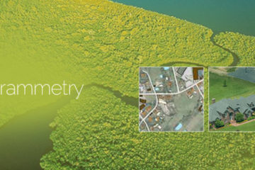
DIGITAL PHOTOGRAMMETRY
Photogrammetry as a science is among the earliest techniques of remote sensing. The word photogrammetry is the combination of three distinct Greek words ‘Photo’, ‘Gram’ and ‘metry’ which translated …
Read more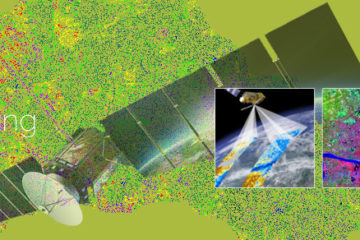
REMOTE SENSING
By choosing to build green, you aremaking an effort to reduce the burden on the environment and also add value to your home. StrusturePress provides you with the guidance and the tools that are necessary …
Read more
REMOTE SENSING
By choosing to build green, you aremaking an effort to reduce the burden on the environment and also add value to your home. StrusturePress provides you with the guidance and the tools that are necessary …
Read more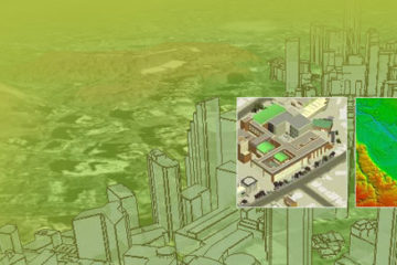
DIGITIZATION
Digitization services involve converting any physical document into a digital file. This ensures easy handling, sharing and editing of the document. Digitization services are used for converting maps, …
Read more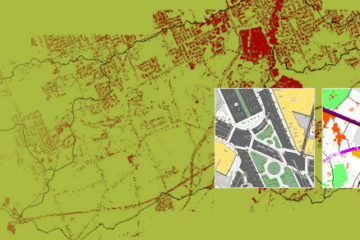
MUNICIPAL GIS
GeoPro has been working with the local and national governmental organisations for a long time now and understands the uniqueness and confidentiality of governmental work. Many government aided bodies …
Read more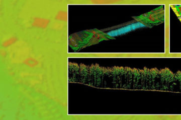
LiDAR DATA PROCESSING
LiDAR technology enables the data capture on field by lighting the target using pulsed laser. As LiDAR also provides elevation data, it finds applications in several industries. GeoPro provides a wide …
Read more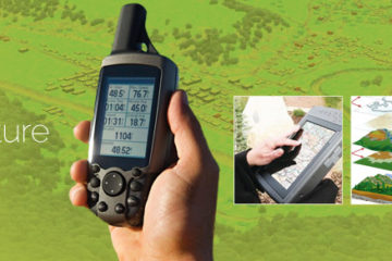
GIS DATA CAPTURE
GIS data capture is a technique in which the information on various map attributes, facilities, assets, and organizational data are digitized and organized on a target GIS system in appropriate layers. GIS …
Read more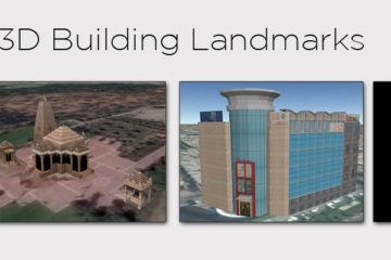
3D BUILDING LANDMARKS
GeoPro IT creates 3D Building Landmarks and Photorealistic 3D Models for monuments, museums, places of worship, recreational destinations, petrol pumps and other establishments. 3D Building Landmarks and …
Read more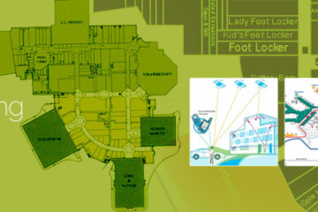
INDOOR MAPPING
These days the increasing complexities of building structures and number of smart phone users have led to need for indoor building maps. Indoor building maps are a feature installed in various …
Read more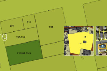
PARCEL MAPPING
Parcel Mapping is a process in which land parcels are created for efficient and effective land management. Parcel mapping service generates maps, created from base maps, with polygons that have details …
Read more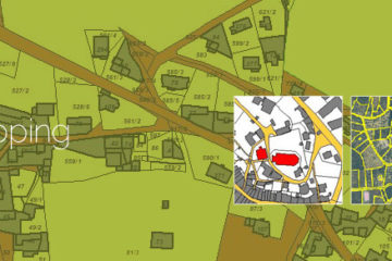
CADASTRAL MAPPING
Cadastral mapping is a comprehensive register of the details related to the property of an area. These details include the precise location, dimensions, and other geographical classifications of the properties …
Read more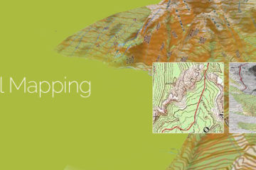
TOPOGRAPHICAL MAPPING
Topographic mapping services helps in route planning, thematic data preparation, and decision-making for telecom and transport services and disaster management. The 3D topographic maps cover an area of …
Read more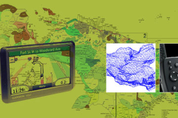
LAND SURVEY
Survey has played an important role in collecting data from areas that don’t have updated maps. Survey maps also play a crucial role in ground truthing the concerned area for creation of accurate land …
Read more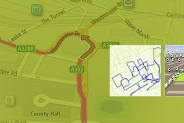
NAVIGATION & TRACKING
Navigation mapping assists the navigation content providers using GIS, GPS, and Remote sensing technologies instead of traditional method of manual assimilation of data for generation of navigation content. …
Read more